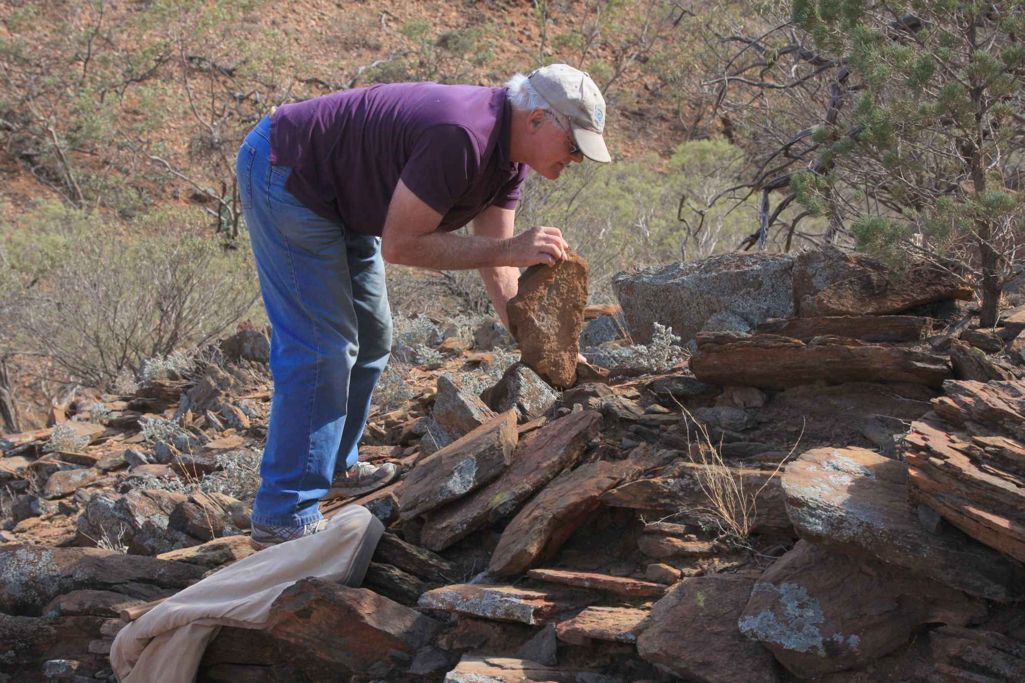


What Are Expeditions?
Expeditions are usually a fortnight in duration. They address a need for the accumulation of useful scientific and cultural data in cooperation with the appropriate institutions.
Scientific Investigations may include:
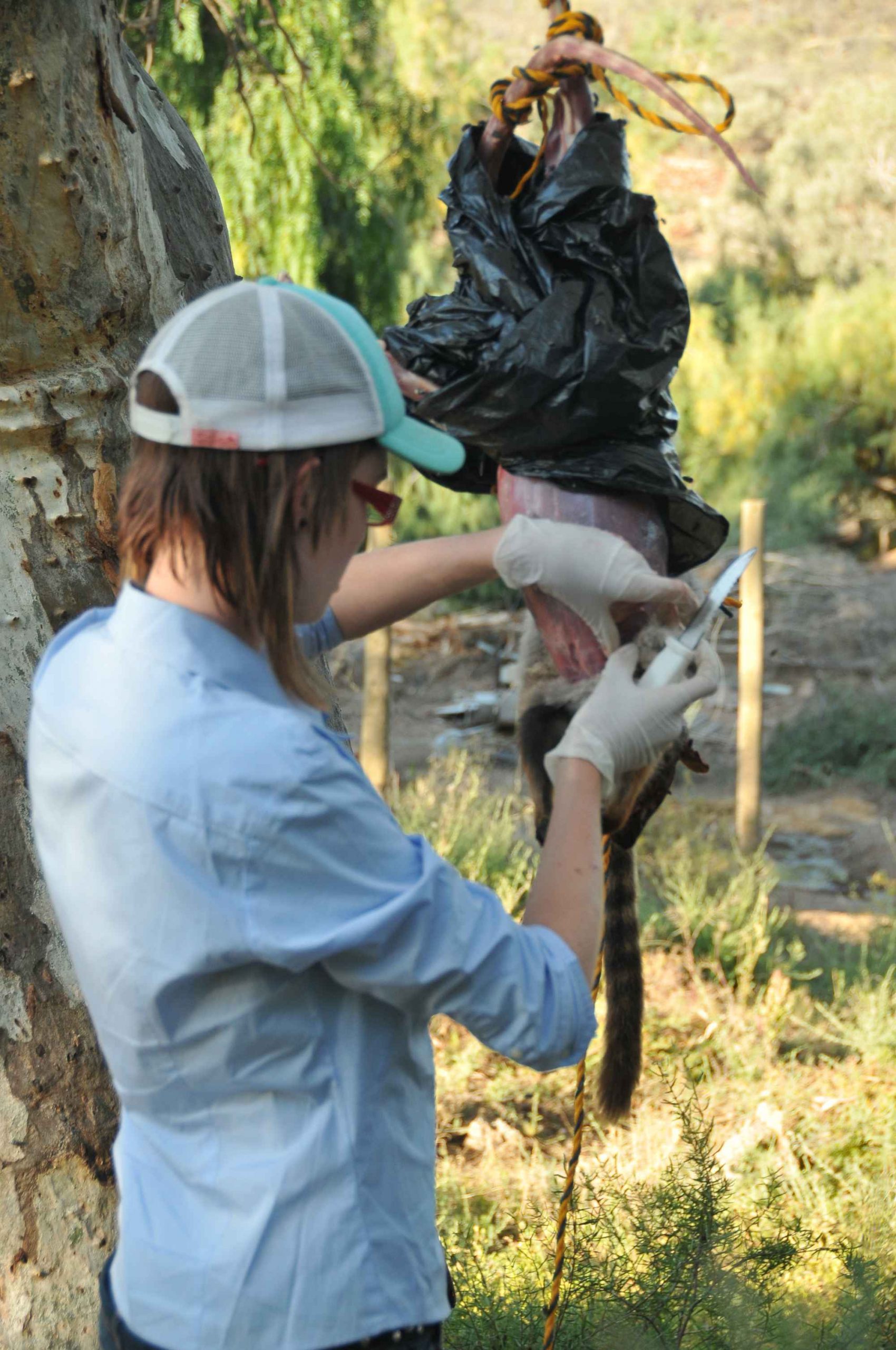
- Mammal, bird, reptile, invertebrate and vegetation surveys, and ecological monitoring
- Water quality and surface water studies
- Hydrological and water catchment studies including some monitoring programs
- Geological and geomorphological studies.
Cultural Projects may include:
- Aboriginal and European heritage.
- Human impact on the environment.
Leadership is by a volunteer team of chief leader and five or six leaders, as well as visiting experts. Leaders are chosen to have good scientific backgrounds and extensive outdoor experience. There are usually about 25 expeditioners, preferably with experience in camping.
There is a fee charged to join an Expedition. The amount will vary depending on any subsidies that may be received by SEG from the hosting party (eg for fuel and accommodation), the remoteness of the location, the facilities available to SEG etc. The expedition fee covers food and transport from Adelaide. Student fees are usually subsidised.
Although aimed at the 16-25 year age group, successful expeditions have been conducted for both mature and mixed age groups.
Expeditioners learn new skills by cooperating to achieve the scientific and cultural aims of the expedition, sometimes under trying conditions. Some expeditioners have returned to become leaders of later expeditions. SEG practices minimum impact camping.
Expeditions are usually held in the Spring (late September to early October) of each year, however, extra or out of time expeditions can occur.
Destinations and dates are usually confirmed by the middle of each year.
What’s Planned for 2025?
The next expedition is to the Southern Yorke Peninsula Biological Surveys – Marna Banggara and will take place from Sunday 19th October 2025 thru until Thursday 30th October 2025.
***Registration of interest for this trip has now closed.***
If you were on the previous Dhilba Guuranda-Innes National Park /Southern Yorke Peninsula Expedition with SEG, you might want to refresh your memories of the 2019 Expedition by reading an account of the survey (see link below).
If you haven’t been to Dhilba Guuranda-Innes National Park or not been on a SEG Expedition before, this article gives an insight into what you can expect in Spring 2025.
For more background details on this survey area and SEG’s previous involvement please refer to the 2020 article by Dr Andy Sharp and Grace Hodder on page 7 of the March 2020 SEGments issue.

Past Expeditions
- 1985: Chowilla – The Chowilla Creek region of the River Murray along the NSW and SA border.
- 1986: Freeling Plateau – a remote, rugged and mountainous region in the Northern Flinders Ranges.
- 1987: Canunda – a coastal and sand dune National Park in the South East of South Australia.
- 1988: Coongie – a remote wetland area near Innaminka in the northeast of SA. Coongie Expedition Report
- 1990: Gammon Ranges – a remote, rugged mountainous terrain in the Northern Flinders Ranges.
- 1991: Lake Newland Phases I and II – The Conservation Park of central western Eyre Peninsula.
- 1992: Kangaroo Island – Flinders Chase National Park at the western end of the Island.
- 1993: Venus Bay – Conservation Park on the West Coast of SA.
- 1993: Kangaroo Island – further work in Flinders Chase National Park.
- 1995: Gawler Ranges – a little studied region of northern Eyre Peninsula.
- 1996: Gammon Ranges – remote, rugged mountainous terrain in the Northern Flinders Ranges.
- 1997: Balcanoona – on the eastern side of the Gammon Ranges National Park.
- 1999:Warraweena – A private conservation park in the North Flinders ranges east of Beltana. Waraweena Expedition Report
- 2000: Gluepot – A Birds Australia reserve in the Murray Mallee north of the River Murray.
- 2002: Munyaroo – A Conservation Park which is between Whyalla and Cowell on Eyre Peninsula. Munyeroo Expedition Manual
- 2003: Witjira – A Conservation Park which is is in the far north of South Australia
- 2005: Moonabie – The western end of Munyaroo Conservation Park
- 2006: Boolcoomatta – A private conservation reserve which is is near Broken Hill
- 2007: Scrubby Peak – in the Gawler Ranges on Eyre Peninsula. Scrubby Peak Report and Annette Vincent Ant Report Scrubby Peak (Reprinted with the kind permission of the Editor, The South Australian Naturalist)
- 2008: Marqualpie – far North East of South Australia about 100 km north of Innaminka. Annette Vincent Ant Report Marqualpie (Reprinted with kind permission of the Editor, The South Australian Naturalist)
- 2009: Arkaroola – Private Wilderness Sanctuary North Flinders Ranges (Baseline Survey – Drought Year). Annette Vincent Ant Report Arkaroola 2009 (Reprinted with kind permission of the Editor, The South Australian Naturalist). Also see the 2009 article by Duncan MacKenzie and there is also a great poem by Russ Sinclair. These are on pages 2-7 here.
- 2010 : Bimbowrie – Conservation Park in the eastern part of SA near Olary
- 2011: Arkaroola Part 1A – Private Wilderness Sanctuary North Flinders Ranges (revisit same area as 2009 after plenty of rain). Annette Vincent Ant Report Arkaroola 2011 (Reprinted with kind permission of the Editor, The South Australian Naturalist). Also see 2011 article is by new expeditioner, Jeanette Roulston. You can find her experience on pages 18-19 here
- 2012: Nullarbor – Sites from near Colona west of Penong to the WA border at Merdayerah and two north of Hughes and Cook on the East-West railway
- 2013: Hiltaba – Two expeditions to Hiltaba, a Nature Foundation property on upper Eyre Peninsula to obtain baseline data following removal of feral goats
- 2014: Nangwarry – In the South-East of South Australia to study the effects of various burning regimes in native forest on fauna and flora
- 2015: Witchelina – Phase 1 (Near Pug Hut) – Witchelina is a former pastoral property that comprises a magnificent outback expanse. extending from Lake Torrens in the south to Marree in the north. Witchelina 1 Expedition Manual 2015 and Annette Vincent Ant Report Witchelina (Reprinted with kind permission of the Editor, The South Australian Naturalist)
- 2016: Witchelina – Phase 2 (Near Main Homestead and Woolshed). Witchelina 2 Expedition Manual 2016 and Witchelina 2 Data Report 2016
- 2018: Ikara-Flinders Rangers National Park – 95000, hectares including the Heysen Range, Brachina and Bunyeroo Gorges and Wilpena Pound. Annette Vincent Invertebrate Report Ikara Flinders Ranges National Park
- 2019: Innamincka Regional Reserve (Malkumba-Coongie Wetland Wonders) (May) – The area includes dune fields and gibber plains supporting threatened species listed under Federal Environmental Legislation. Annette Vincent Invertebrates Report Innaminka – Malkumba Coongie Wetland Wonders
- 2019: Innes National Park – Southern York Peninsula – baseline data collection for the Great Southern Ark Project for the re-wilding of the Southern York Peninsula (September)
- 2020 Great Southern Ark Re-Wilding – Innes National Park
- 2021: Geegeela Conservation Park – woodland and shrubland ecosystems predominantly make up the 858 hectare park and is home to many rare and endangered plant and animal species
- 2023: Witchelina Fauna Survey – Phase 3 (Near Main Homestead and Woolshed)
- 2023: Cooper Creek Fossil Study with Flinders University
- 2024: Arkaroola – Private Wilderness Sanctuary – Biodiversity Monitoring