

Malleefowl Surveys in South Australia
In 2004, the Department for Environment and Heritage (DEH) initiated a project in the Murraylands Region to implement best practice monitoring of the existing network of malleefowl grids in the South Australian Murray Darling Basin (SAMDB). The intention was to adopt the monitoring system developed by the Victorian Malleefowl Recovery Group (VMRG). This system is now recognised as the national standard and has since been adopted throughout South Australia as part of the DEH commitment to the National Malleefowl Recovery Plan.
The Scientific Expedition Group has adopted a site at Bakara Conservation Park. The park is 1,022 hectares of land situated near Swan Reach and Mantung on the Loxton Swan Reach Road (32km east of Swan Reach).
SEG has been involved in these surveys since 2008.

There is more information here about Malleefowl in the South Australian Murray Darling Basin in a publication issued by the Department for Environment and Heritage (DEH).
To read the results of the published reports, click on the links below:
2024 MONITORING DATES
Weekend of 1st – 3rd November
Bakara Conservation Park
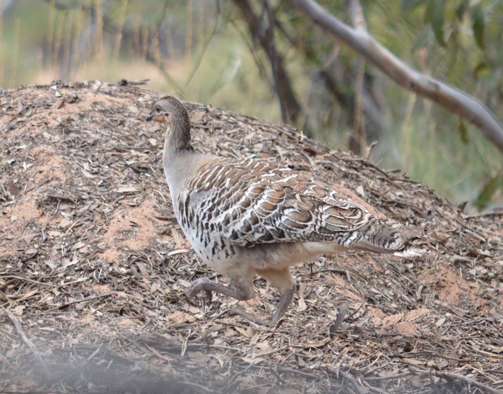
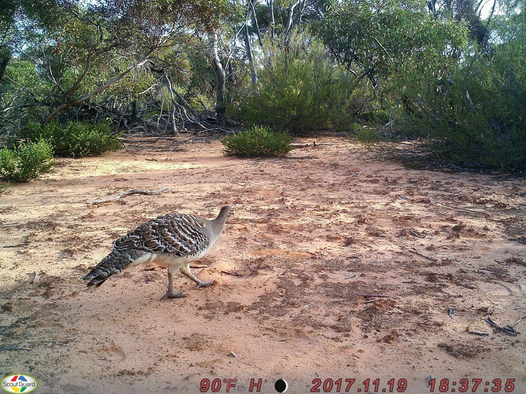
SEG carry out annual monitoring of Malleefowl mounds at Bakara Conservation Park generally early November each year. Additional trips are also run to maintain remote cameras installed throughout the park.
• All welcome to meet Friday night for shared BBQ (details provided closer to date)
• Sunday is usually the backup day for extreme weather or if we don’t get finished on Saturday (this will depend on how many register).
• Self catering
• Free camping. BYO everything. No facilities
• All members and potential members welcome
• No experience required
To register interest contact Helen Owens, Email: Helen Owens
SEG Science Sub-committee
Scientific Expedition Group Inc.
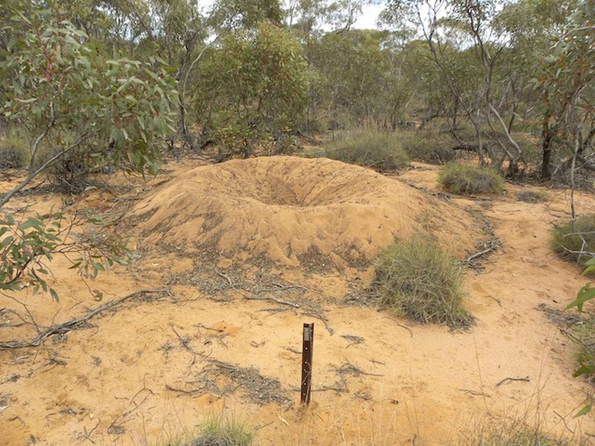
Below is a video created from a 3D model of a mound at Bakara where a mallee fowl was seen.
It was created by Janet Davill, taking numerous shots of the mound from different angles (with at least a 60 % overlap).
Then these photos were loaded into some very smart software that works out common points, calculates angles and distances for each photo, then creates a 3D model. From this, a movie was created.